Last month, our new project ”GOAT 3.0” was launched. The Project is budgeted for a total of 535.770 €, with partial funding from the Federal Ministry of Transport and Digital Infrastructure as part of the mFUND innovation initiative. The goal of the 3-year project is to significantly expand the functions of GOAT in a co-creative development process. To this end, new accessibility indicators will be developed and various participatory events, such as workshops and neighborhood safaris, will be held.
The objective of GOAT 3.0 is to enhance the current functionalities by including further transport modes, additional destinations and by providing new indicators that visualize the analysis in a smart way. Therefore, we will work closely with several main partners including the Technical University of Munich (TUM), Leibniz Institute for Ecological and Regional Development Dresden (IÖR), Prof. Schaller UmweltConsult GmbH (PSU), and Münchner Verkehrs- und Tarifverbund GmbH (MVV).
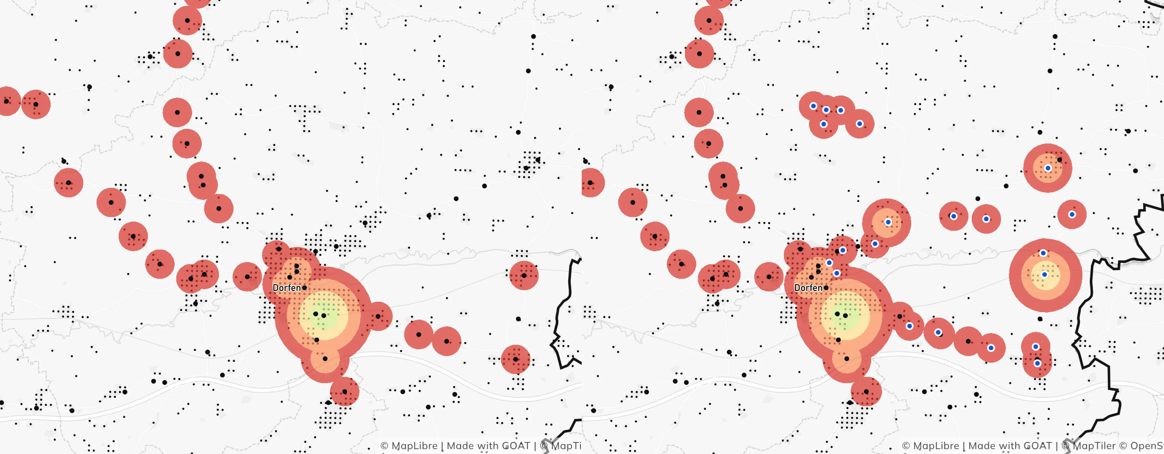
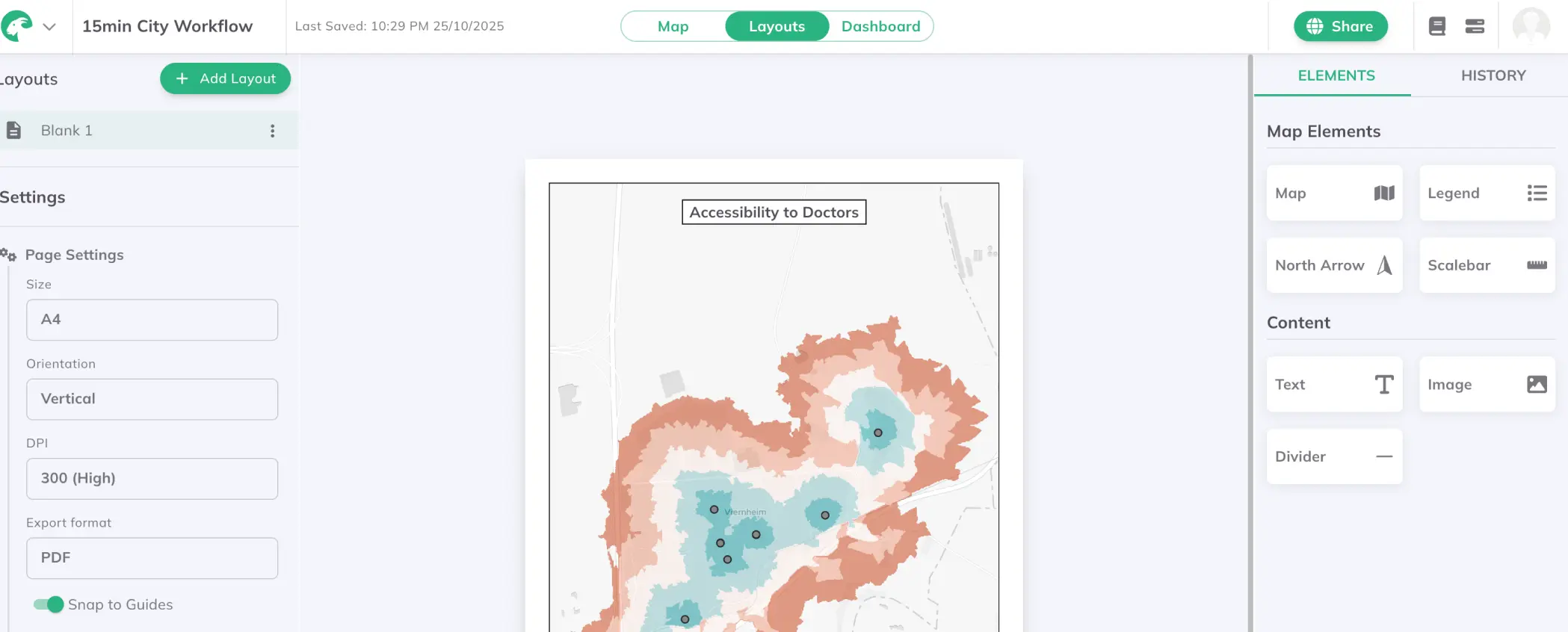
GOAT 3.0 will include the following functions, among others:
As a basis for the development of the new indicators, a comprehensive literature review and a nationwide survey on perceived spatial accessibility will be conducted. In addition, numerous citizen workshops and neighborhood walks will be organized.
Based on the findings, we will develop new GOAT functions in an iterative and co-creative process. Intensive testing for real planning issues in more than 20 test and application workshops will be conducted together with our practical partners (City of Fürstenfeldbruck, City of Freising, City of Munich, City of Bonn, County of Munich, Metropolitan Region Rhein-Neckar and many more). The feedback obtained in this process is actively incorporated into the further development process and helps us adapt our tool and its functions to the needs of the users.

The new functions are released step by step as beta versions and can thus be tested directly by the users. The final release of the GOAT 3.0 will take place at the end of the project in 2024. Within the project, numerous data sets will also be merged, processed and made publicly available.
In course of this project, we want to answer the following research questions:
We are more than happy that this research grant enables us to hire our first two full-time employees: Elias and Grigorii! We feel honored by the high interest in our tool and the possibility to work together with such great partners that will bring in their expertise to jointly develop GOAT further.
Can't wait to check out the new features? Feel free to reach out to us and participate in one of our workshops.
To keep you informed about the latest project activities, TUM has also set up a newsletter. Sign up here: https://lists.lrz.de/mailman/listinfo/goat3-0-newsletter
As part of the mFUND innovation initiative, the BMVI has been funding data-based research and development projects for digital and connected mobility 4.0 since 2016. Project funding is supplemented by active professional networking between stakeholders from politics, business, administration and research and by making open data available on the mCLOUD portal. For more information, visit www.mfund.de.


GOAT

Use cases
.png)
.jpg)
.jpg)
.jpg)
.jpg)


Whether you need state-of-the-art GIS technology, extensive datasets or expert advice – we are ready to help you shape a sustainable and liveable future for our community.