Empowering municipalities, regions, and agencies with interactive WebGIS platforms that integrate diverse geospatial data into intuitive tools for real-time visualization, spatial analysis, and stakeholder-driven decisions — streamlining planning.

Our services include
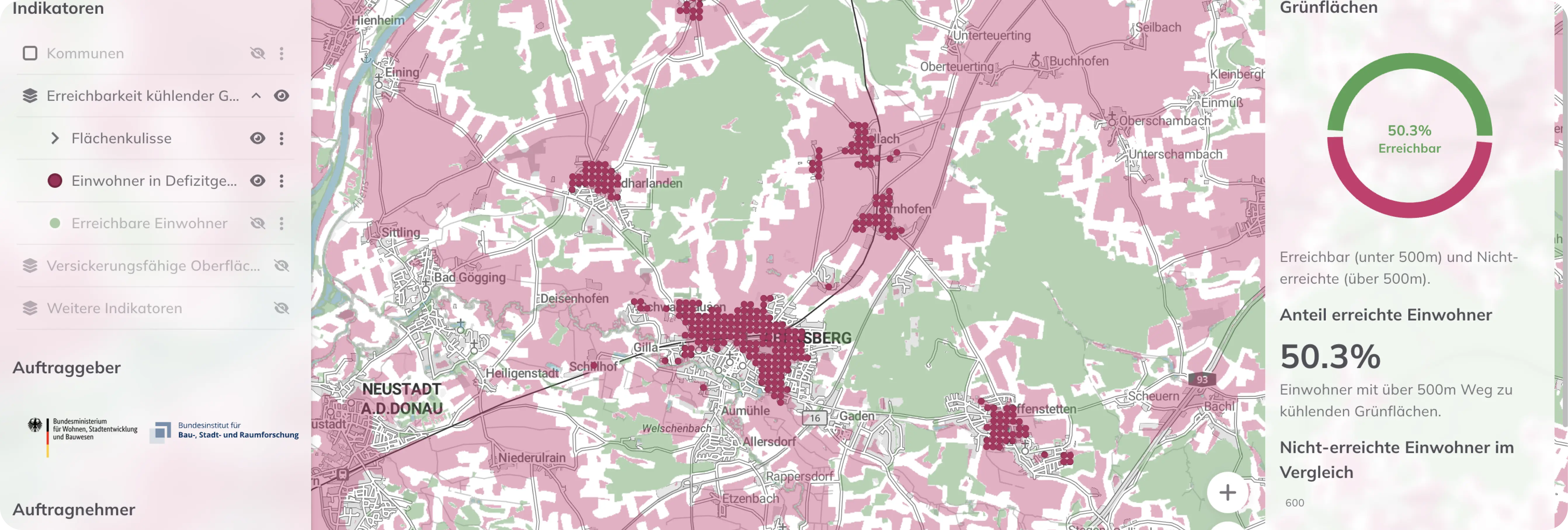
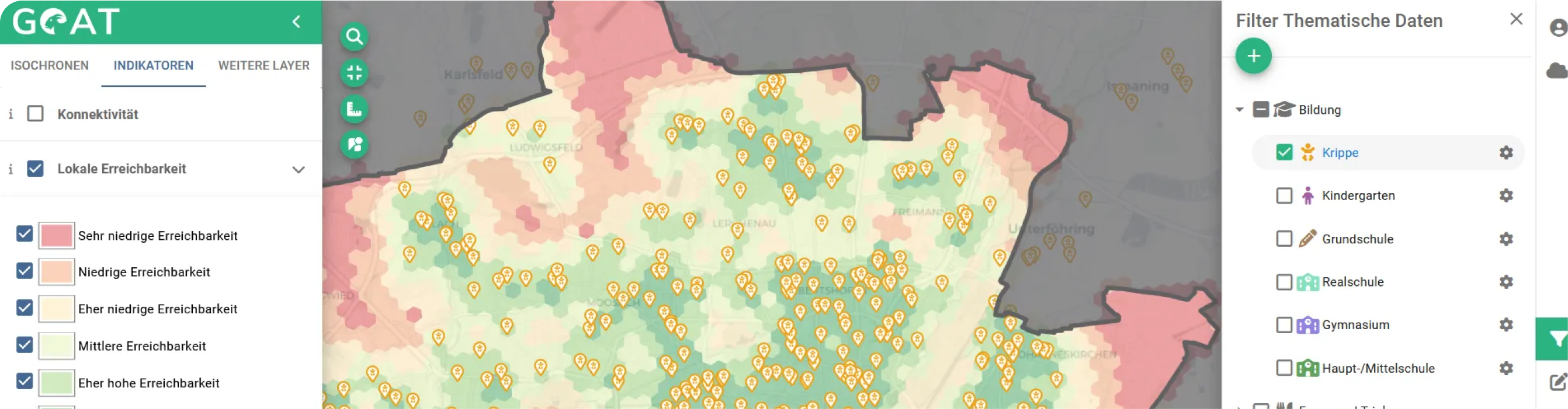
We design and develop interactive dashboards tailored to your spatial data, indicators, and user needs.
We develop cross-platform solutions using a single codebase, enabling seamless deployment across multiple operating systems.
We engage users and stakeholders continuously during development to co-create needs-driven, practical, and inclusive solutions.
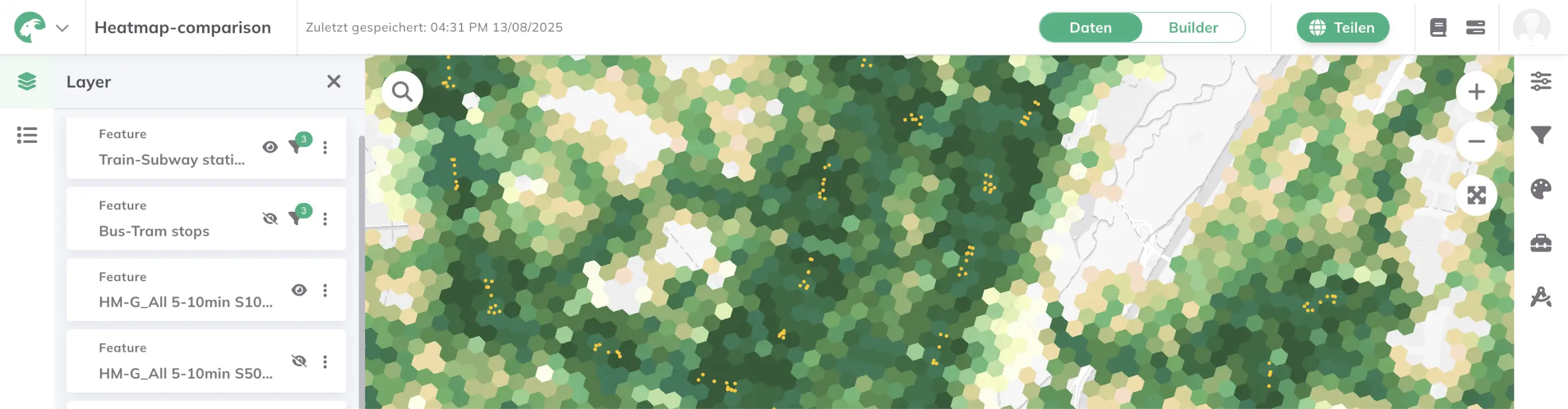
We connect platforms to live data and APIs for up-to-date information, enabling responsive and dynamic services.
Scalable by design, our modular systems adapt effortlessly to new features and future needs.
We create intuitive tools that make complex spatial data accessible and explorable for diverse user groups.
Learn more about related projects.
- Agile, user-centered development with iterative cycles, ensuring continuous input from stakeholders in transport, urban planning, and environmental domains.
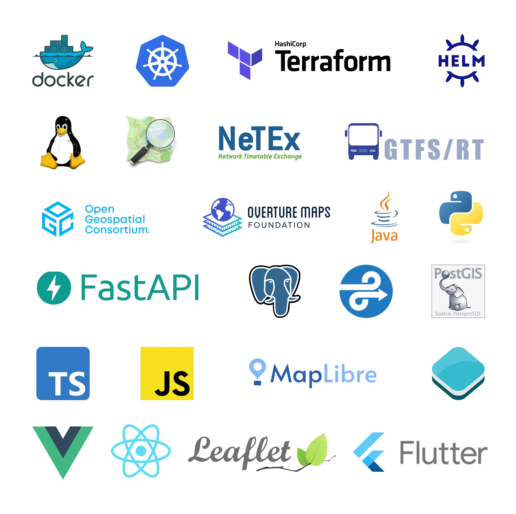
- Built on open-source technologies: Leveraging libraries like MapLibre, PostGIS, and Python, combined with OGC-standard compliance for interoperability.
- Integration of open data and customer-specific sources, including real-time mobility data, tailored to sector-specific workflows.
- Modular, open-licensed architecture designed for scalability — adapting seamlessly to new geographies, user groups, and evolving planning needs.
- Usability-driven design focused on domain-specific needs, prioritizing intuitive tools for planners and policymakers.

.jpg)
.jpg)
Join planners and cities already using GOAT to make better decisions, faster.