Transforming raw geospatial and mobility data into actionable insights using open-source tools, with streamlined ingestion, cleaning, and integration to empower data-driven decisions.

Our services include
We process and manage streaming data to support responsive, up-to-date applications and services.
We design scalable ETL pipelines that efficiently collect, process, and integrate spatial data from diverse sources.
We clean and validate data by correcting errors, standardizing formats, and restructuring for analysis.
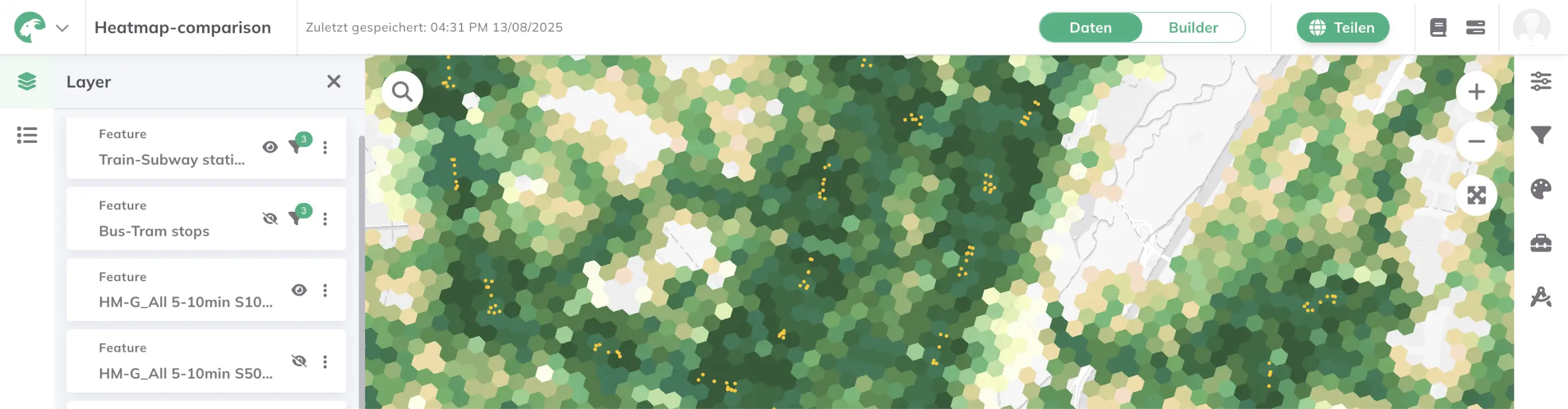
We standardize and align mobility datasets (e.g. GTFS, NeTEx) across formats and providers to enable consistent analysis.
We build transparent, reproducible toolchains using open-source technologies tailored to your data pipeline needs.
We create and connect APIs to ensure seamless data exchange between systems, platforms, and users.
Learn more about related projects.
- Design and implement automated data pipelines for processing geospatial and mobility datasets.
- Clean, transform, and harmonize data from heterogeneous sources (e.g., GTFS, census, OSM, municipal data).
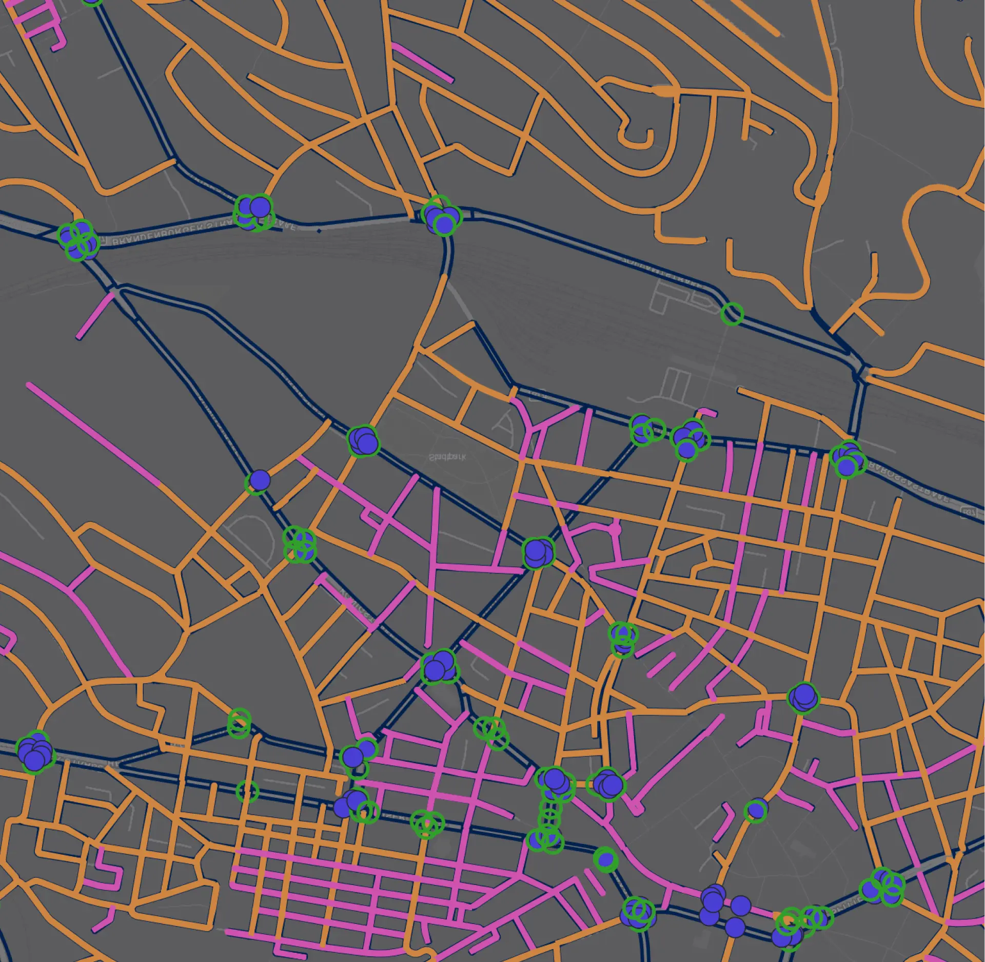
- Use spatial databases, data lakes and APIs for efficient data access and querying.
- Ensure interoperability through standardized data models and metadata structures
- Apply scalable, modular architectures to support different use cases and platforms.
- Enable real-time data integration where needed (e.g., GTFS-RT, GBFS, construction sites feed).

.jpg)
.jpg)
Join planners and cities already using GOAT to make better decisions, faster.