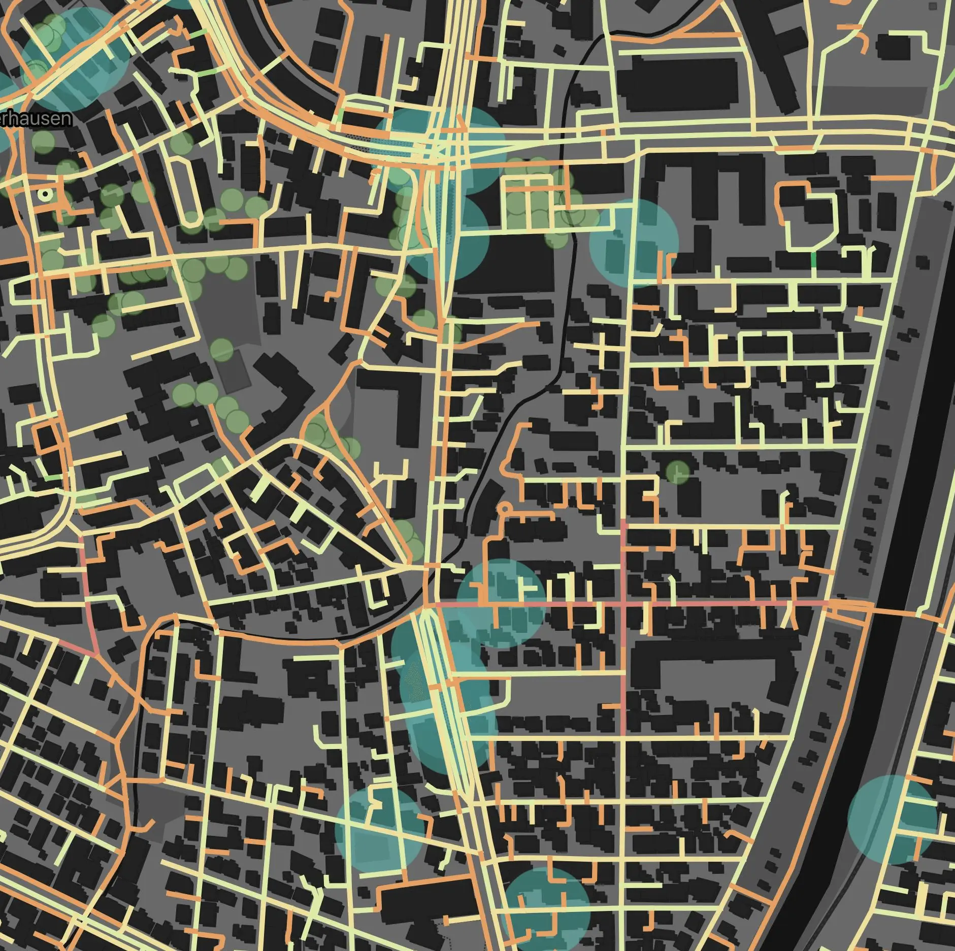
We design inclusive walking and cycling networks using spatial data, user insights, and universal design. Our accessibility analyses support proximity-based planning like the 15-minute city, while catering to diverse needs with data-driven, user-centric solutions.
Our services include
We analyze walkability and bike accessibility and optimize active mobility networks for safe, efficient, and inclusive travel.
We develop integrated strategies for walking, cycling, and micromobility to promote sustainable and healthy mobility.
We assess pedestrian and cycling infrastructure for accessibility and identify physical barriers to inclusive mobility.
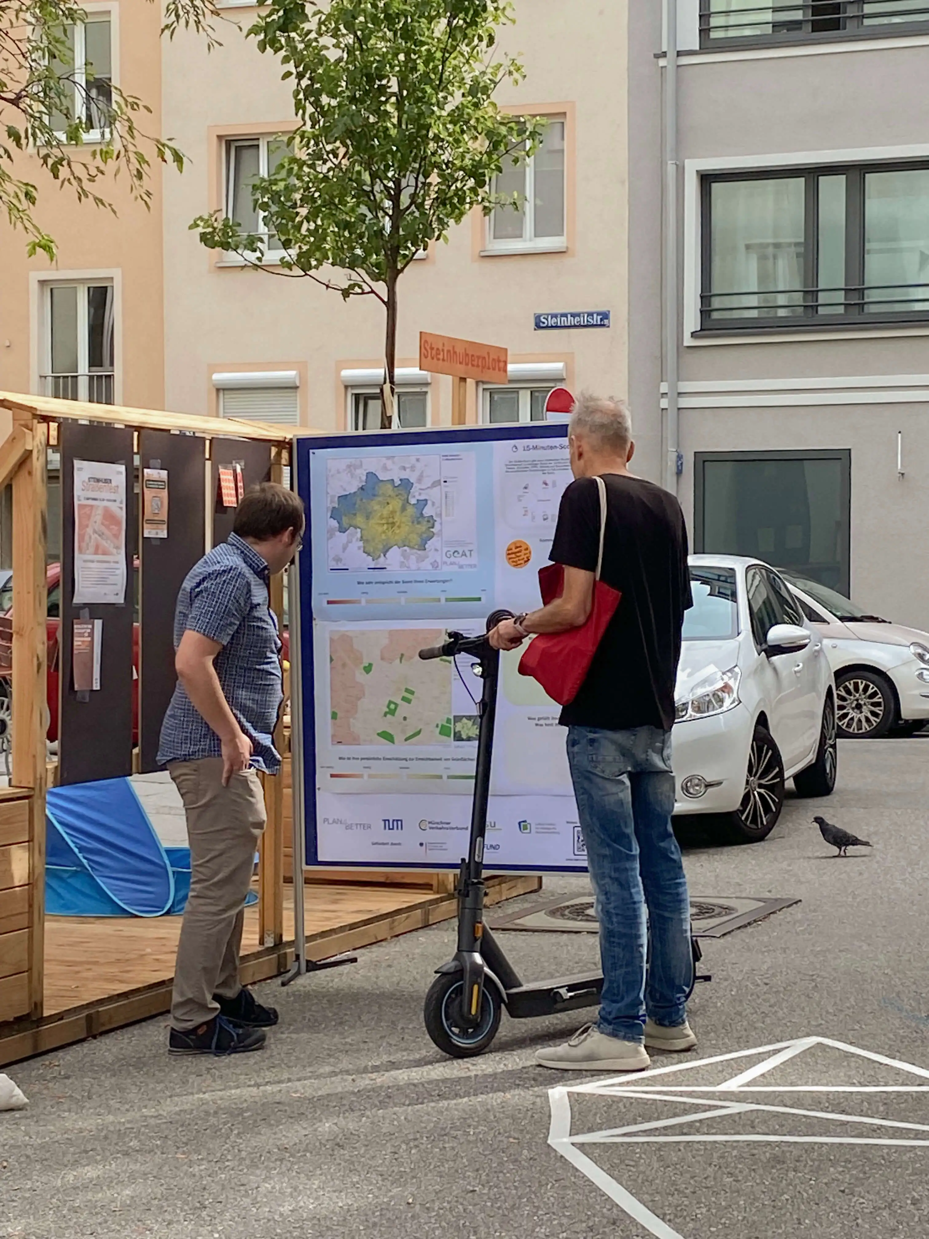
We evaluate access to daily destinations using 15-minute city principles and other proximity-based indicators to support livable and inclusive urban planning.
We identify key areas for intervention and planning priorities based on spatial and socio-demographic data.
We engage stakeholders and communities through workshops to co-create locally rooted, user-oriented solutions.
Learn more about related projects.
- Assess pedestrian and cyclist accessibility using geospatial data and on-site observations.
- Integrate demographic and mobility behavior data to identify gaps and barriers.
- Apply accessibility indicators and walkability metrics to inform and map potentials.
- Develop tailored strategies for safer, more attractive and barrier-free networks.
- Deliver insights via maps for reports, interactive web maps for engagement, and dynamic dashboards for real-time decision support.

.jpg)
.jpg)
Join planners and cities already using GOAT to make better decisions, faster.


