Cities & Governement
Real Estate
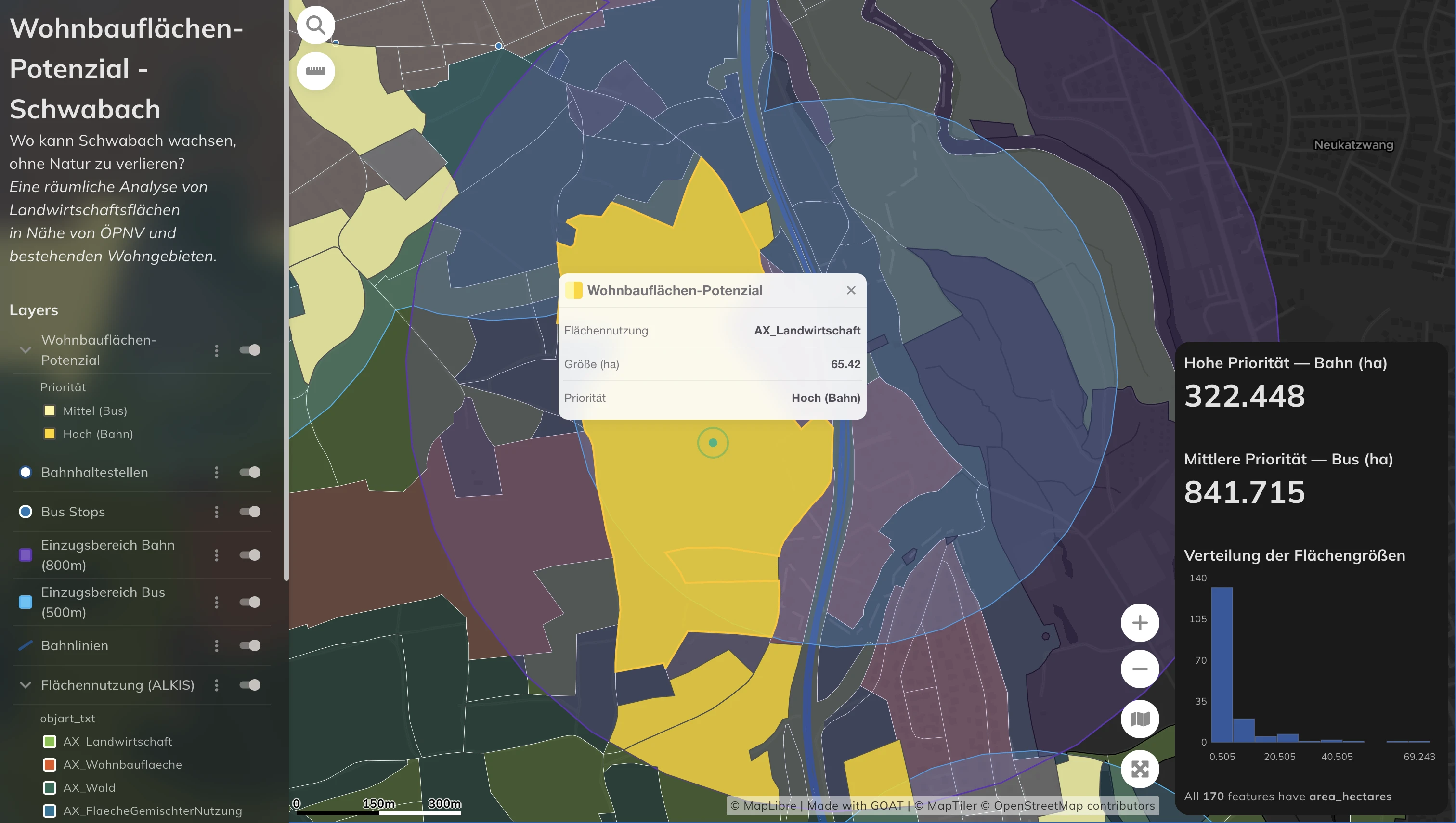
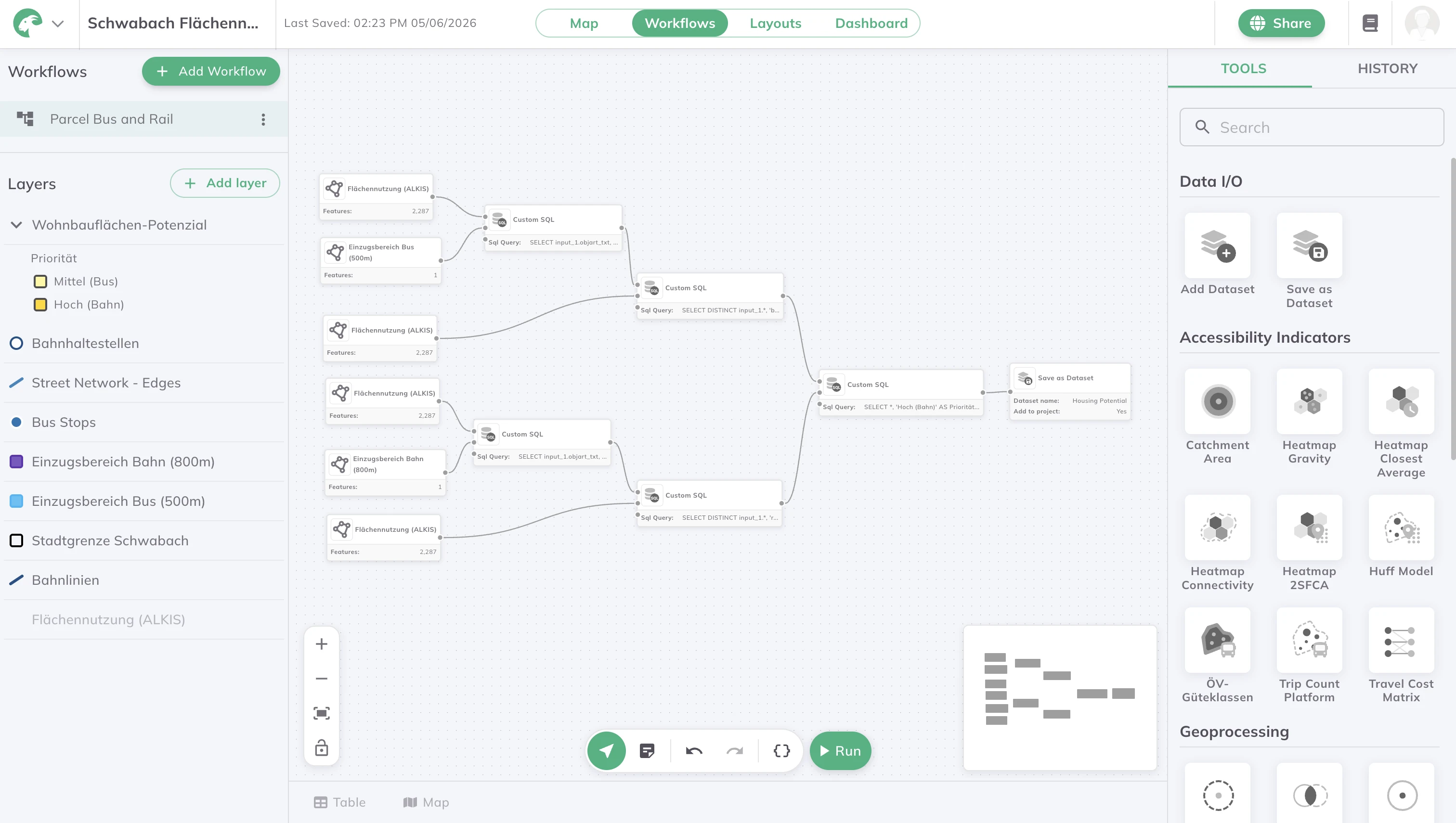
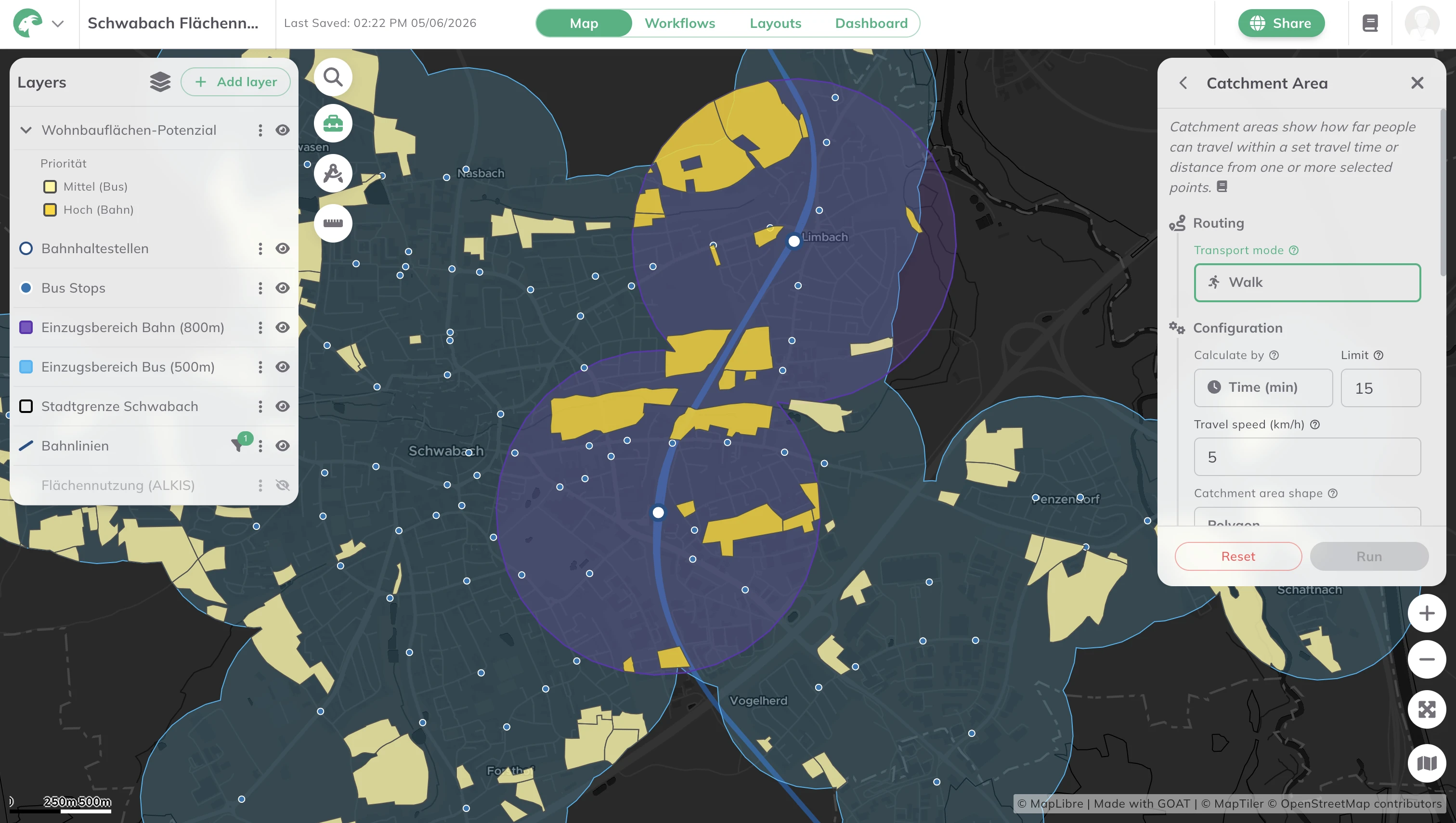
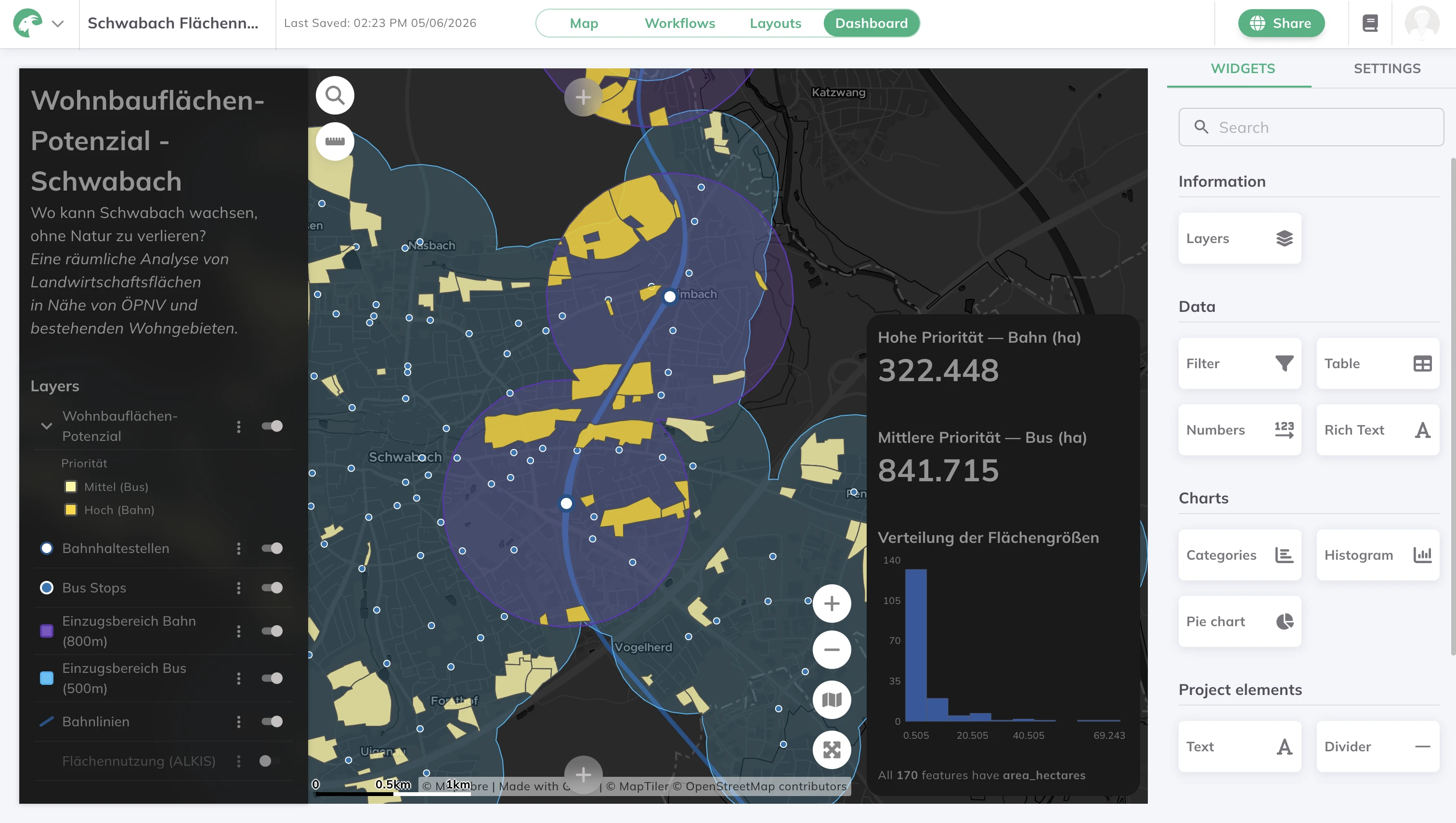
Before a single building goes up, planners need to know what's already there — and what the land could become. This map shows land use types across Schwabach, giving a detailed picture of the city's urban structure and where development potential sits. The data comes from the official ATKIS dataset and is visualised with a custom ordinal color scale for clarity and ease of analysis. The same workflow — harmonising official land-use data and styling it for analysis — transfers to any municipality that wants to open its land-use data for planners, developers, and citizens.

.jpg)
.jpg)
Join planners and cities already using GOAT to make better decisions, faster.