
Solutions
Set parking requirements from data
A single parking requirement for the whole city ignores whether a building is next to a tram stop or far from one. With FLEKS, we base the requirement on how many cars people actually own, and divide the city into parking requirement zones. The calculation runs in GOAT.
One number for the whole city
Many German cities require developers to build parking when they build housing. The rule sits in a local parking bylaw, and its purpose is to keep residents from relying on public parking or parking on the street. For a long time, the requirement was often a single number for the whole city, such as one space per home. It did not matter whether the building stood next to a tram stop or far from any public transport.
A single number does not match real demand. Where a city asks for more parking than people need, construction costs go up, and land goes to garages instead of homes or green space. So many cities have made their rules more flexible. We compared the residential parking requirements of 12 German cities. The base value ranges from 0.5 spaces per home in Potsdam to 1 in Munich, Dresden or Stuttgart. Eleven of the 12 adjust it by location, often by dividing the city into zones, and eleven adjust it for extra mobility services.
What is usually missing is where the numbers come from. How a city sets its base value, and how much it changes from zone to zone, is rarely explained. It is often unclear whether the values come from experience, from a political choice or from an analytical method. That is a weak basis for a rule that developers and the city council have to accept.
Other countries already link parking to public transport. In Switzerland, municipalities use public transport quality classes to set how many parking spaces a building may have, and Austria links its parking rules to public transport access in a similar way.
How FLEKS works
FLEKS stands for Flexibilisierung Kommunaler Stellplatzsatzungen, making municipal parking bylaws more flexible. The method builds on an approach from TU Hamburg that was developed with data from Hamburg and Osnabrück. Together with stattbau münchen, we developed it further for the City of Munich, to set parking requirement zones for housing there.
It works in two steps. First, the model learns from today. The city is divided into small squares, for example the 100-metre census grid. For each square we know how many cars people own and what is around them: how good public transport is, how far the nearest shops are, how dense the area is, and some social characteristics. Comparing all the squares shows how much each of these factors pushes car ownership up or down.
Then FLEKS applies what it learned. For any place, it estimates how many parking spaces per home the people living there would need. This also works for places that do not exist yet, such as a new housing area. Areas with similar demand are grouped into zones, each with a minimum requirement the city can use in its parking bylaw.
Developers start from the minimum for their zone and adjust it for the mix of home sizes and types in their project. If the project offers mobility services such as car sharing, the requirement drops further. Our glossary explains what a mobility concept has to show for that.
FLEKS is a model of car ownership, not a finished bylaw. It gives the city a starting point it can explain and defend. The final values are still for the city council to decide.
Model parking demand in GOAT
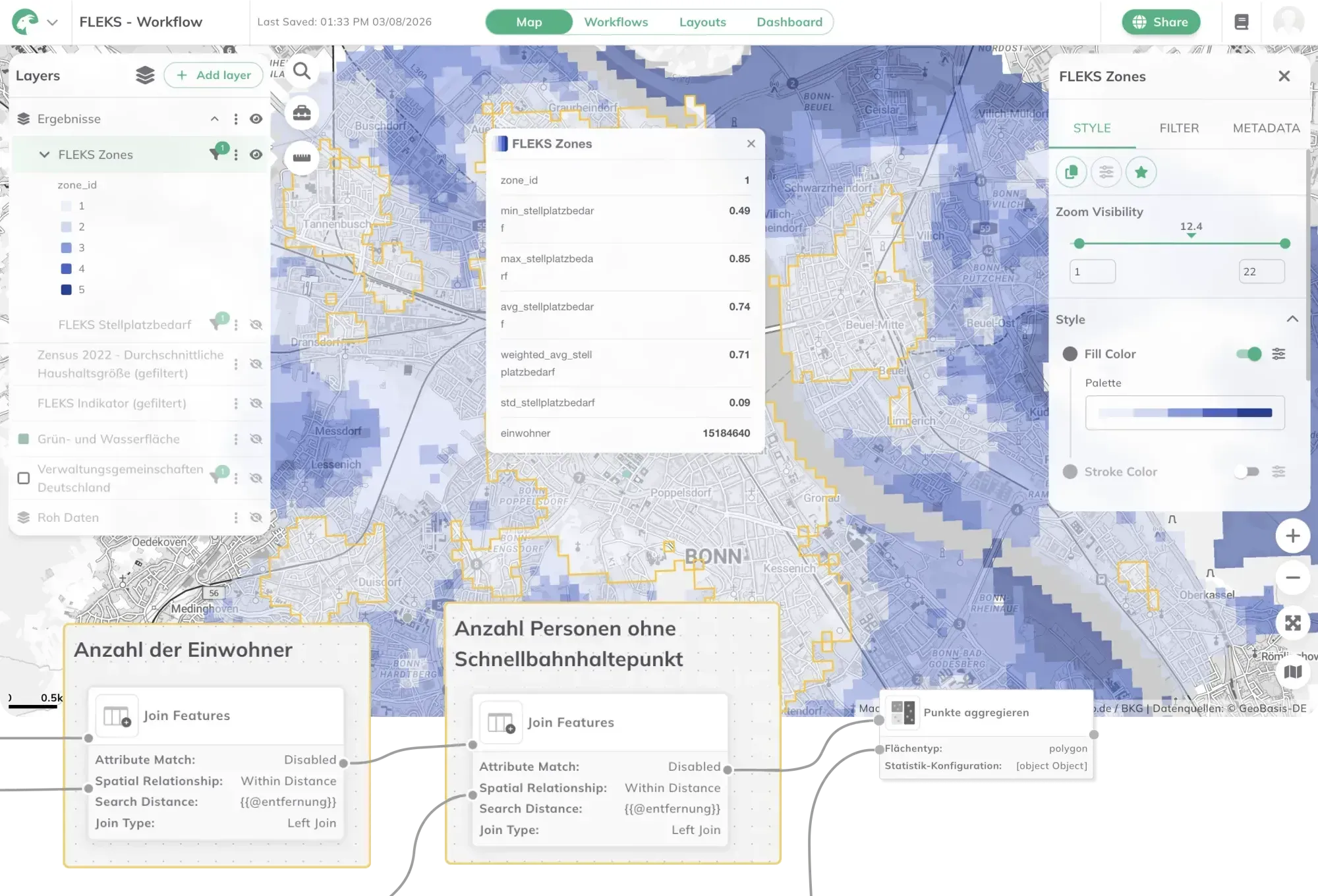
In GOAT, FLEKS is built as a workflow. Each step of the calculation is a node on the workflow canvas, for example Join Features, which links two layers by distance, or Aggregate Points, which aggregates points onto areas. Values such as the search distance are set as Variables. The workflow is saved in the project, so you can run the calculation again with new data or for a different scenario. The GOAT documentation explains how workflows are built.
Public transport quality is one of the main inputs. FLEKS uses public transport quality classes, which GOAT calculates from timetable data with a tool of its own. When the service changes, for example with a new tram line, you put the new class into the model and see how parking demand changes there, before anyone decides.
The result is a layer on the map. For each zone it shows the parking demand, the range from minimum to maximum, and the number of residents. New transit lines and new shops change what people need, and the zones can then be recalculated for the new situation.
GOAT supports parking work in other projects too. The consultants at stattbau münchen have used GOAT since 2022 for accessibility analyses that support mobility concepts for housing and reduce parking demand. In Munich’s Harthof district, as part of the EU project ASCEND, we calculated high-resolution parking demand from accessibility, sociodemographics and land use.
You can find these projects directly below.
From our projects
- Cities & Government
- Mobility Planning
- Real Estate
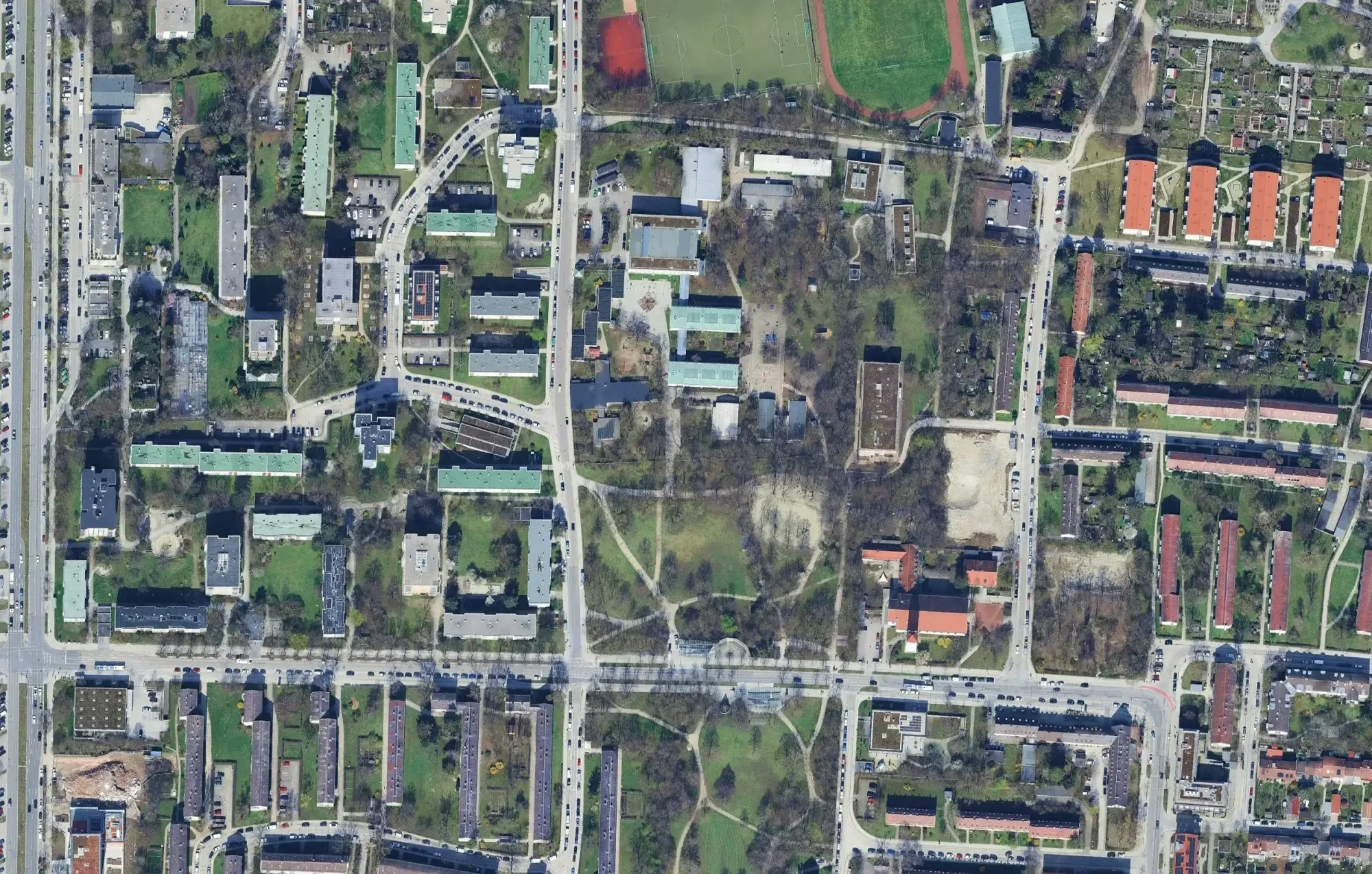
FLEKS - High-resolution determination of minimum parking requirements for the City of Munich
The FLEKS project aims to develop a method that determines parking space needs based on urban planning, socio-demographic, and mobility-related parameters, and integrates it into an integrated mobility concept.
Read the reference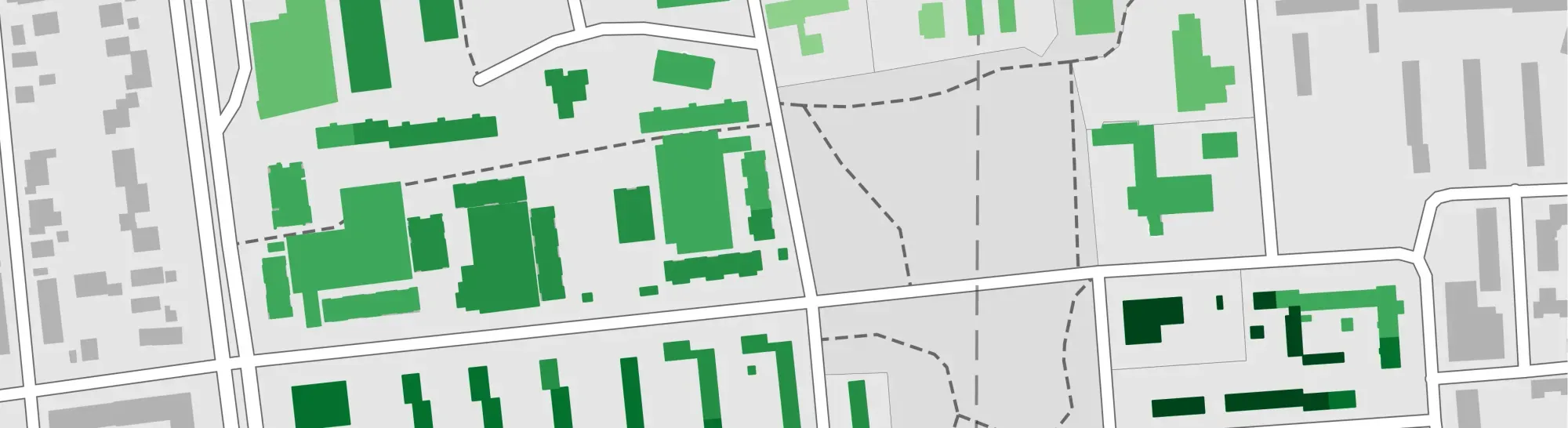
- Mobility Planning
Harthof's Integrated, Innovative Shared Mobility Concept
This project is developing a transferable shared mobility concept for the Harthof district of Munich that integrates public and private services using data-driven methods and stakeholder participation.
Read the reference
- Real Estate
- Mobility Planning
stattbau - GOAT Subscription
With the GOAT subscription, the consultants at stattbau München GmbH prepare accessibility analyses for sustainable housing and settlement projects.
Read the reference
Frequently asked questions
What are minimum parking requirements?
Rules that tell developers how many off-street parking spaces a new building must provide. For housing they are usually set per home, for example 1 or 0.8 spaces. In Germany, each municipality sets them in a local parking bylaw, the Stellplatzsatzung.
How do German cities set parking requirements for housing?
Many have moved away from one fixed number for the whole city. In our comparison of 12 German cities, the base value ranges from 0.5 spaces per home in Potsdam to 1 in Munich, Dresden or Stuttgart. Most then adjust it for location, dwelling size, social housing and extra mobility services.
How can parking requirements be based on data?
By modelling car ownership. FLEKS divides the city into small grid cells and measures how much public transport, nearby shops, density and social characteristics push car ownership up or down. From that it estimates parking demand per home for any place and groups areas with similar demand into zones.
What data do you need to model parking demand?
Small-area data that many cities already have, such as the 100-metre census grid. On top of that come indicators like public transport quality classes, distance to shops, density and social characteristics. The model is calibrated with data on how many cars people own today.
Can a mobility concept reduce the number of parking spaces required?
In many cities, yes. Of the 12 German cities we compared, 11 lower the requirement when a development offers extra mobility services such as car sharing or shared bikes. An accessibility analysis shows which of those services residents can actually reach.
Can FLEKS be used in other cities?
Yes. FLEKS is recalibrated with each city's own data. It can also run scenarios for single areas or projects, and it can be applied to other types of development than housing.
Revising your parking requirements?
Book a slot. We will look at what FLEKS says about your city, and at the data it would take to calibrate it.
- Parking requirement zones for the whole city, calibrated on local car ownership.
- Test scenarios before you decide, such as a new tram line and the better public transport class it brings.
- Adjust the requirement for a single development to its mix of homes and its mobility services.
- Back up mobility concepts with accessibility analyses.
Ready to make sense of your data?
Join planners, organizations and cities using GOAT to make better decisions, faster. No GIS expertise needed.