
The Public Transport Quality Classes (German: ÖV-Güteklassen) assess the accessibility and attractiveness of public transport in a given area. This map focuses on the city of Jena as a case study, categorizing service quality from A (very good) to F (very poor). Additionally, the map highlights the population served by each class, which can be explored by clicking on the respective classes.
How good is public transport where you plan?
More maps to explore
- Mobility Planning
- Cities & Government
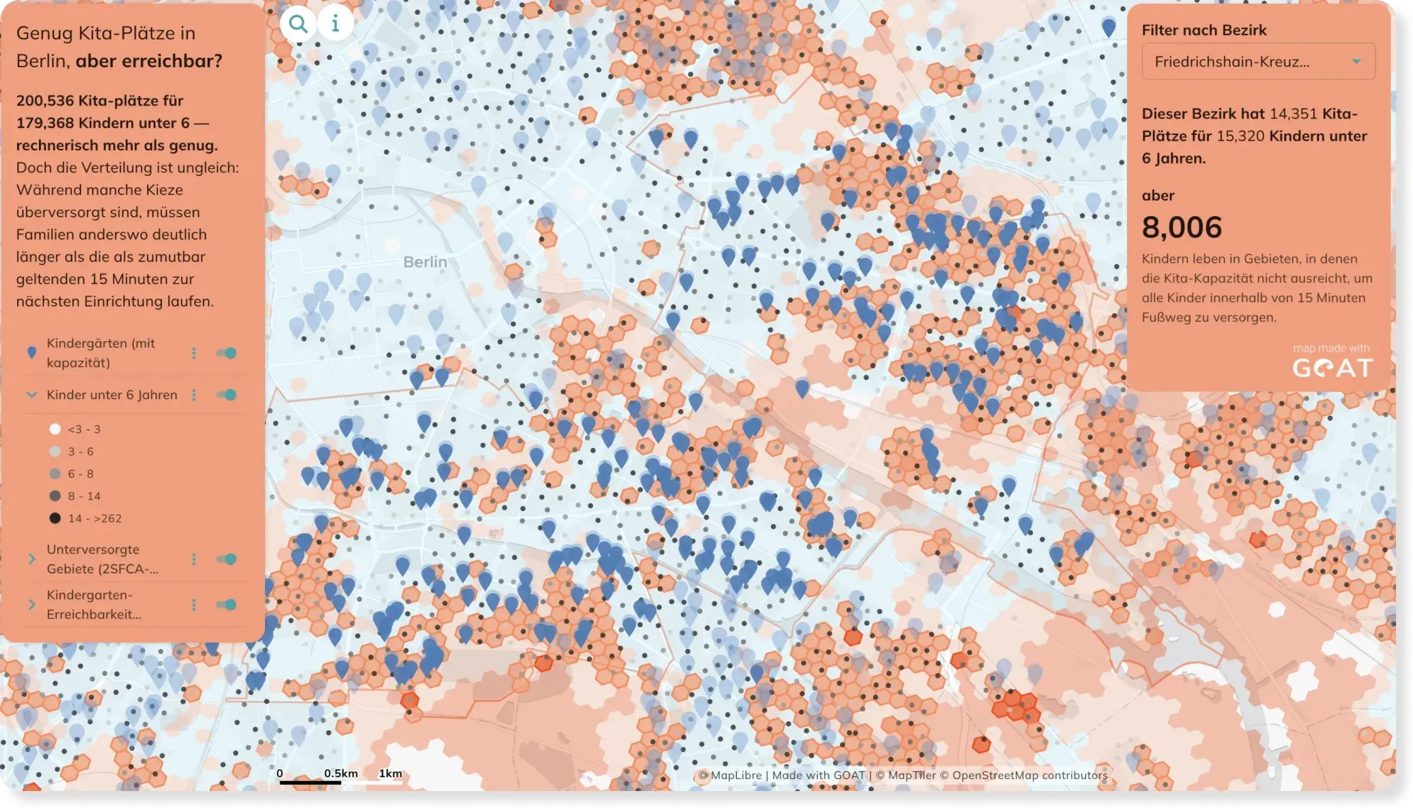
Kindergarden accessibility in Berlin: Distance and Capacity combined
A kindergarden five minutes away doesn't help if every place is already taken. This map goes beyond simple distance and factors in capacity too — showing where families are truly cared for.
See the map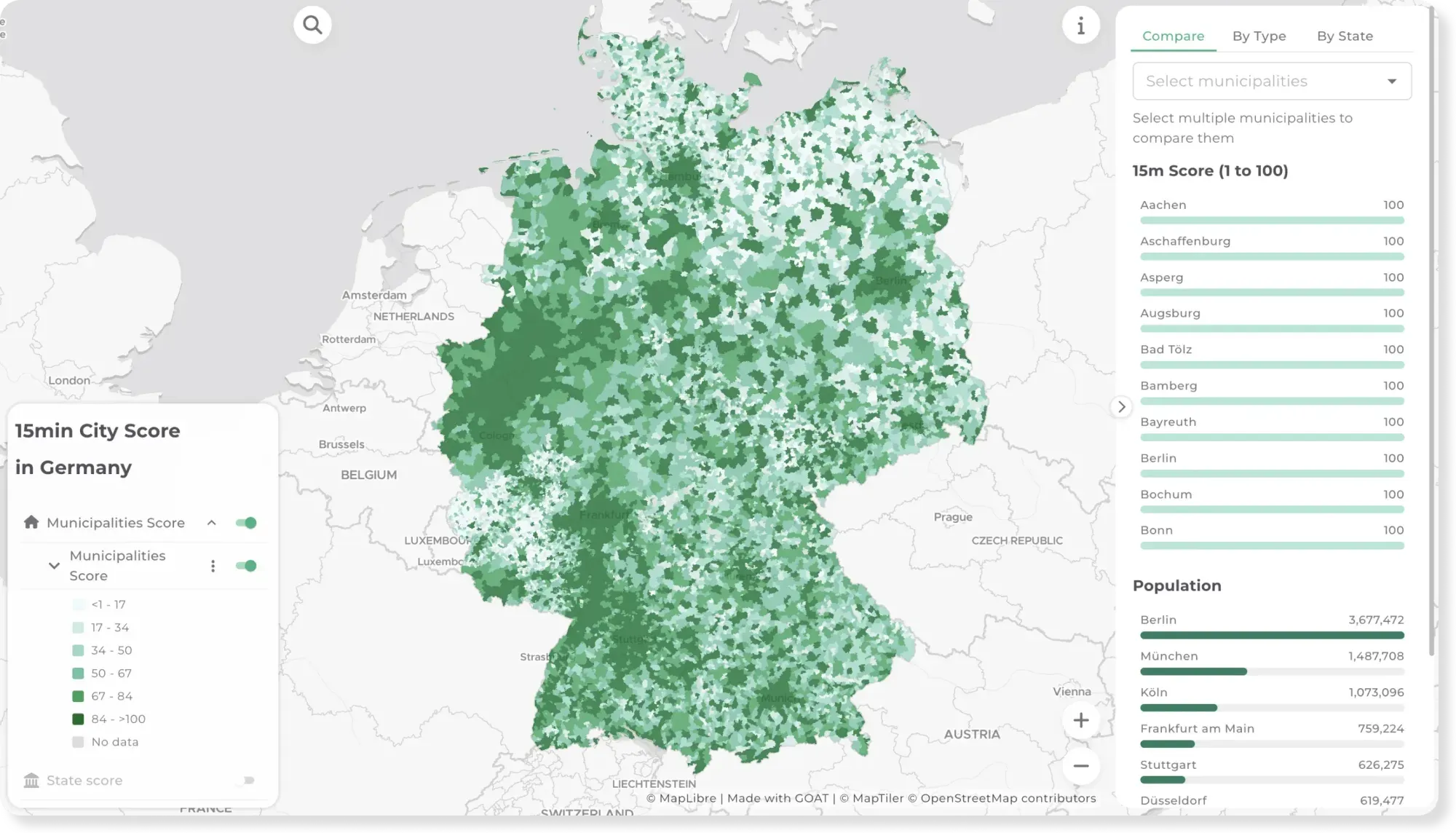
- Mobility Planning
- Cities & Government
15-minute City Score across Germany
Can you cover daily needs within a 15-minute walk? This map scores every municipality and state in Germany on the 15-minute city concept.
See the map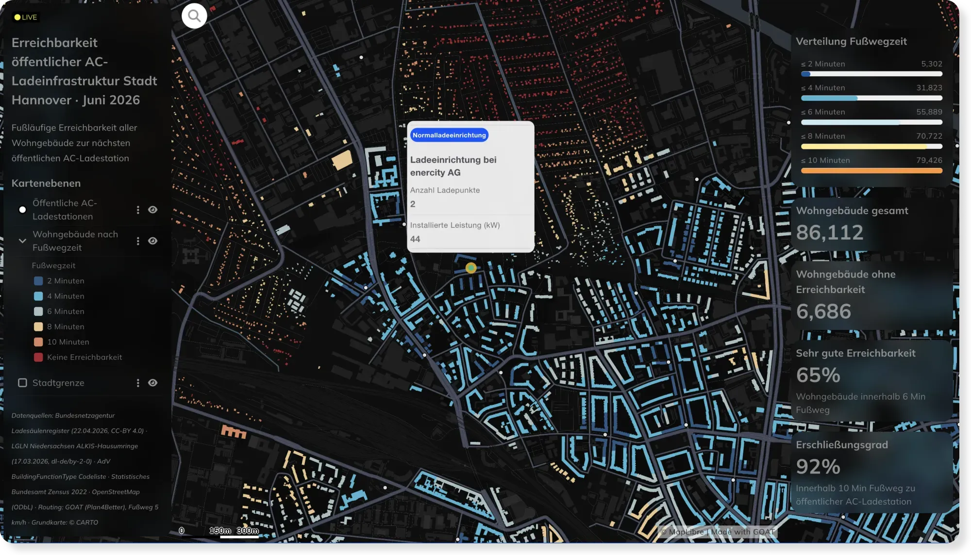
- Energy
- Mobility Planning
Live EV Charging Accessibility in Hannover, Powered by Automated Workflows
Charging networks change weekly. This Hannover dashboard stays current automatically — custom SQL and scheduled workflows recompute walking access to every AC charger as the data updates.
See the map
Rather see it on your own data?
Book a slot and we will walk through GOAT with the questions you actually have.