
Back to the Gallery Map Gallery
Kindergarden accessibility in Berlin: Distance and Capacity combined
A kindergarten five minutes away doesn’t help if every place is already taken. This map goes beyond simple distance and factors in capacity too — showing not just which kindergartens families can reach on foot, but whether those kindergartens can actually take more children. That combination reveals gaps a plain proximity map would miss. For planners deciding where new facilities are needed most, the workflow behind this dashboard is a useful starting point — the same approach works for any facility where both reach and capacity matter.
Can families in your city reach a free childcare place?
More maps to explore
- Mobility Planning
- Cities & Government
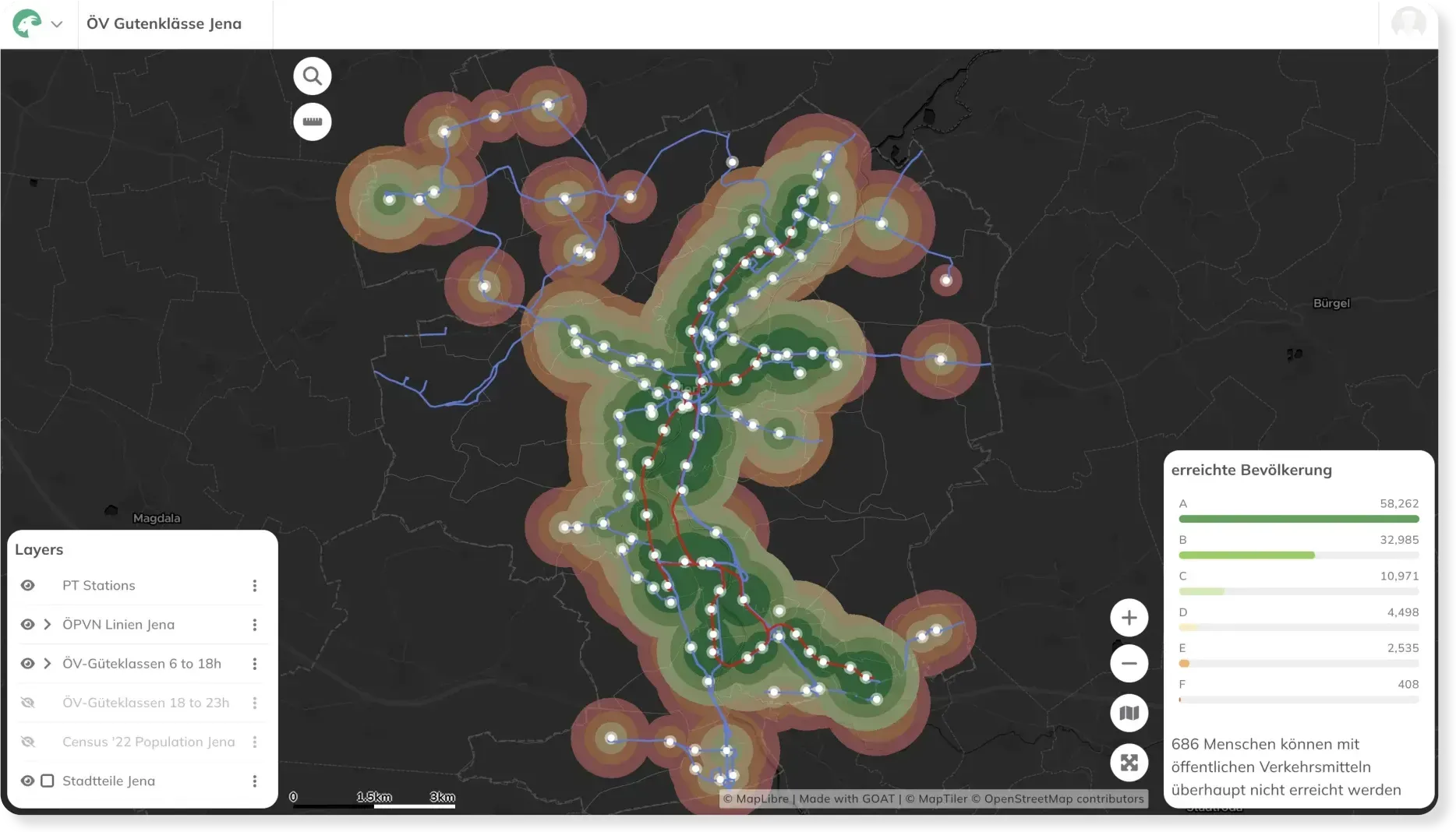
Transit Accessibility Analysis
This map shows the Public Transport Quality Classes (ÖV-Güteklassen) highlighting the attractiveness of public transport services for Jena.
See the map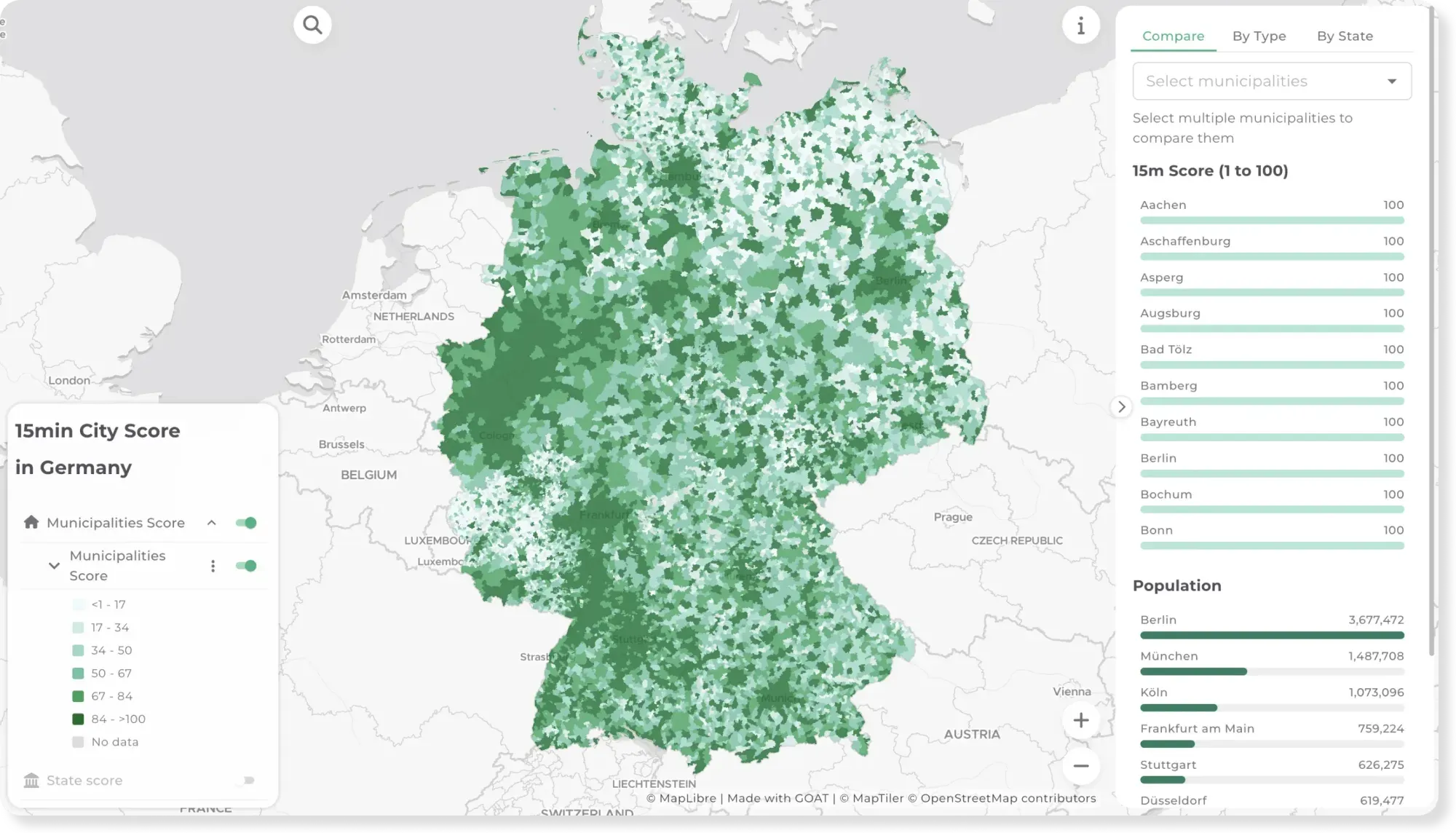
- Mobility Planning
- Cities & Government
15-minute City Score across Germany
Can you cover daily needs within a 15-minute walk? This map scores every municipality and state in Germany on the 15-minute city concept.
See the map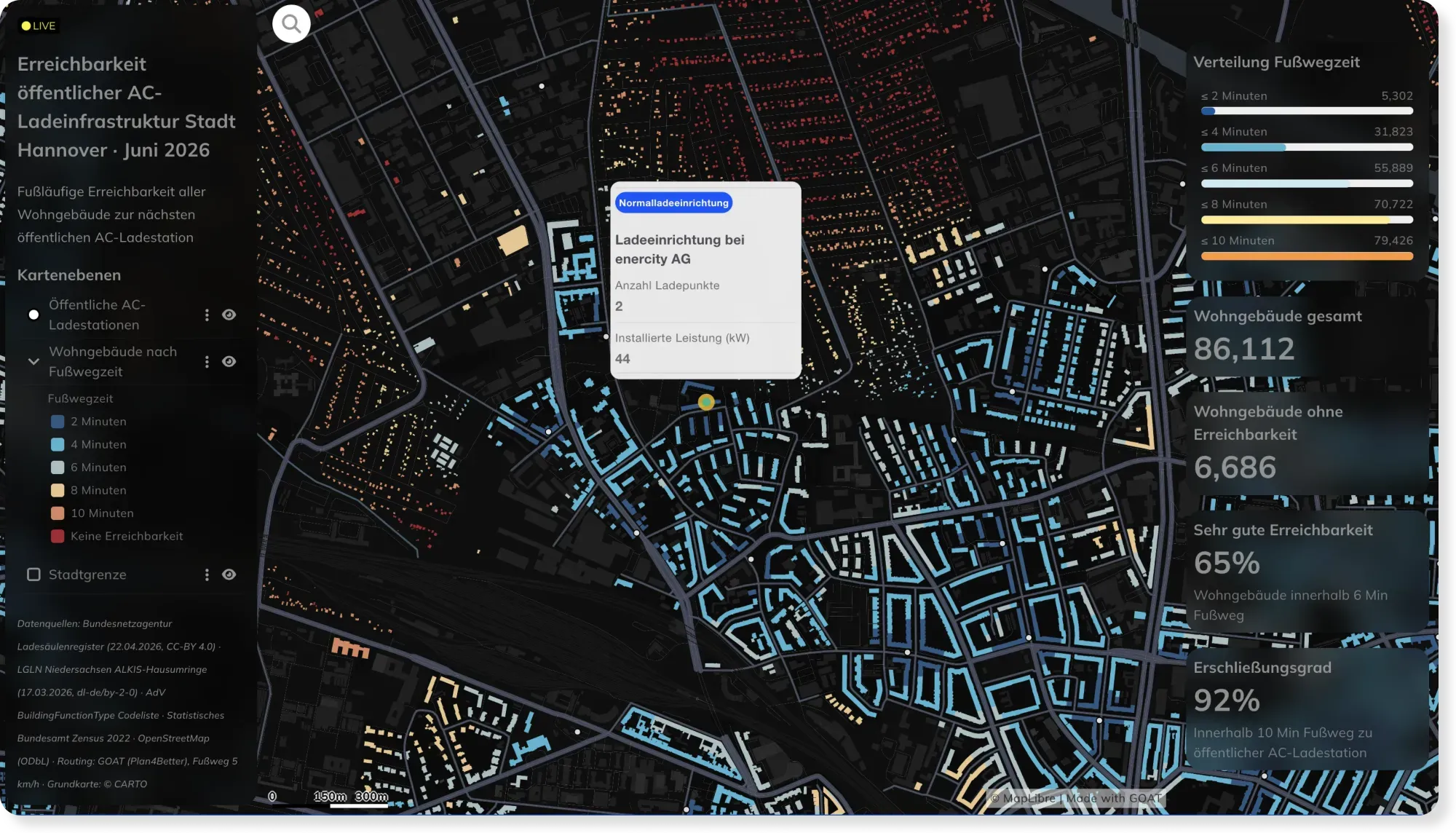
- Energy
- Mobility Planning
Live EV Charging Accessibility in Hannover, Powered by Automated Workflows
Charging networks change weekly. This Hannover dashboard stays current automatically — custom SQL and scheduled workflows recompute walking access to every AC charger as the data updates.
See the map
Rather see it on your own data?
Book a slot and we will walk through GOAT with the questions you actually have.