
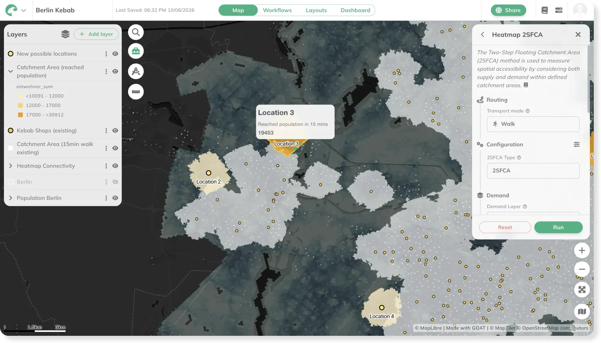
Any business with more than one location lives or dies on two questions: how many people can already reach its branches, and where are the customers nobody’s serving yet. This map answers both. It maps the locations of competing chains across a region, the population each branch draws from within a short walk or drive, and the overlaps where they compete for the same customers — then surfaces the underserved areas where a new branch would find demand. Whether it’s supermarkets, pharmacies, banks, or gyms, it’s the same catchment-and-competition analysis any retail or service network uses to decide where to open, relocate, or consolidate.
Where is the gap in your own branch network?
More maps to explore
- Retail
- Cities & Government
Retail Site Selection: Where Should the Next Shop Open?
Where's the gap in the market for a new shop? This map ranks potential sites by how many people can reach them on foot, and where demand goes unmet.
See the map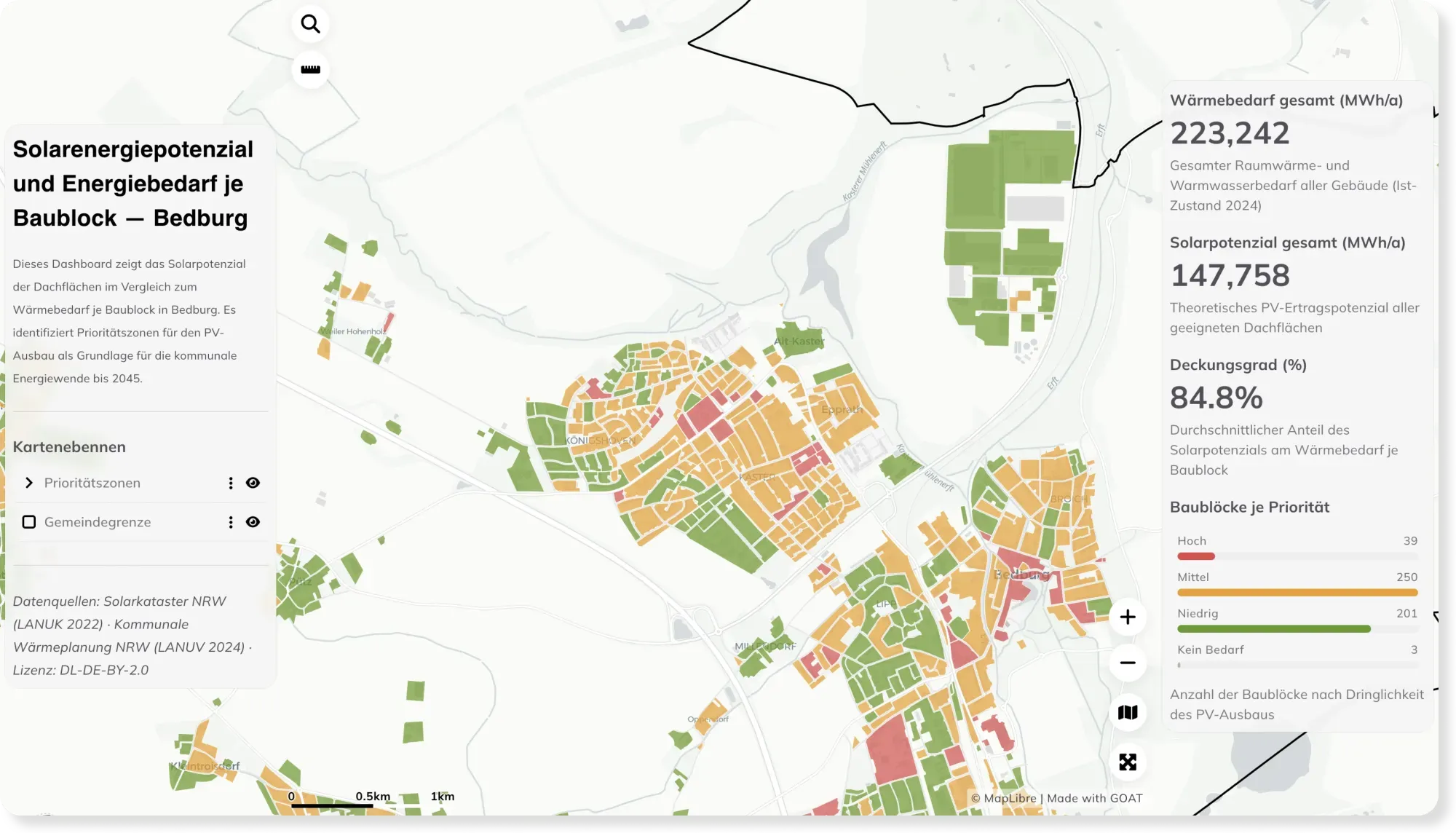
- Energy
- Sustainability & Climate Risk
Rooftop Solar Potential vs. Energy Demand per Block — Bedburg
How much energy could a city's rooftops cover? This dashboard compares rooftop solar potential with heat demand per block in Bedburg, revealing priority zones for solar expansion.
See the map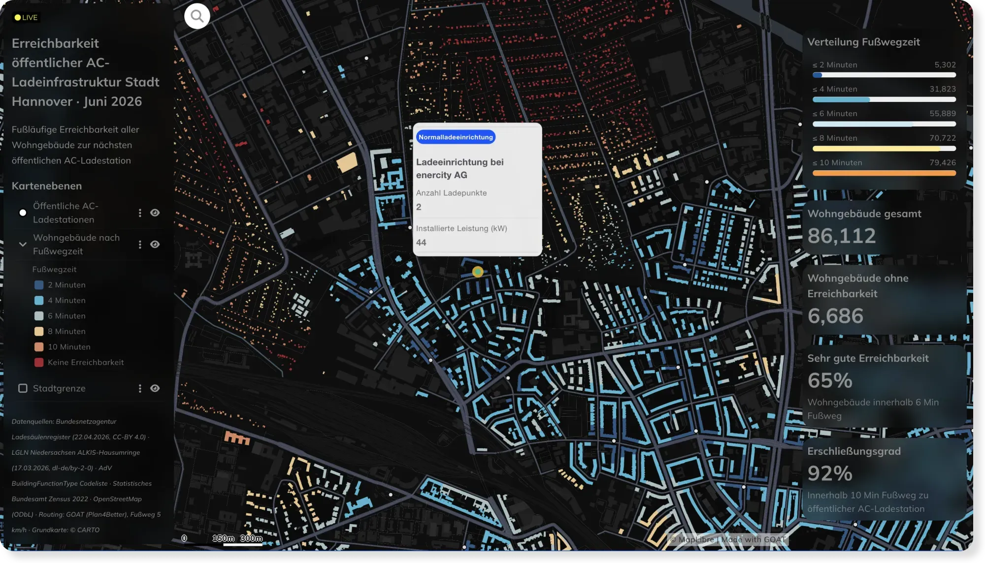
- Energy
- Mobility Planning
Live EV Charging Accessibility in Hannover, Powered by Automated Workflows
Charging networks change weekly. This Hannover dashboard stays current automatically — custom SQL and scheduled workflows recompute walking access to every AC charger as the data updates.
See the map
Rather see it on your own data?
Book a slot and we will walk through GOAT with the questions you actually have.